Coastal Planning and Zoning Course: Lesson 2
DOWNLOADDecember 10, 2021 - Tyler Augst, Michigan State University Extension and Michigan Sea Grant
 Print
Print Email
Email
This lesson is one of a 5-part e-mail series on Great Lakes coastal zoning and planning. Register for the complete series online.
Lesson 2: Legal Framework for Shoreline Planning and Zoning
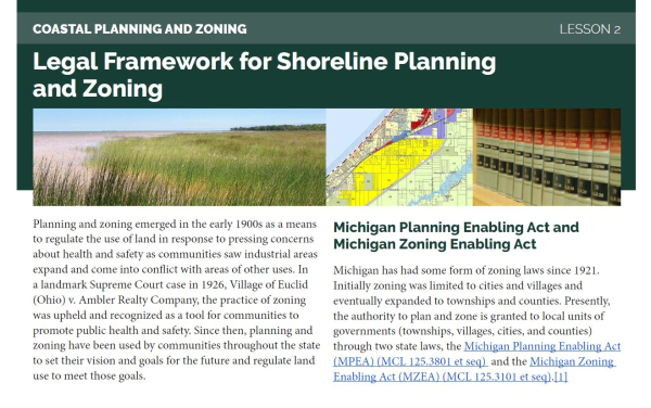
Planning and zoning emerged in the early 1900s as a means to regulate the use of land in response to pressing concerns about health and safety as communities saw industrial areas expand and come into conflict with areas of other uses. In a landmark Supreme Court case in 1926, Village of Euclid (Ohio) v. Ambler Realty Company, the practice of zoning was upheld and recognized as a tool for communities to promote public health and safety. Since then, planning and zoning have been used by communities throughout the state to set their vision and goals for the future and regulate land use to meet those goals.
Michigan Planning Enabling Act and Michigan Zoning Enabling Act
Michigan has had some form of zoning laws since 1921. Initially zoning was limited to cities and villages and eventually expanded to townships and counties. Presently, the authority to plan and zone is granted to local units of governments (townships, villages, cities, and counties) through two state laws, the Michigan Planning Enabling Act (MPEA) (MCL 125.3801 et seq) and the Michigan Zoning Enabling Act (MZEA) (MCL 125.3101 et seq).[1]
These laws establish the processes for local units of governments to plan and implement zoning, if they choose. Communities that choose to zone go through a process of developing a master plan for their community as laid out in the MPEA and then establish policies based on that plan, which may include a zoning ordinance. Typical elements in a zoning ordinance include provisions to regulate what uses of land are allowed where, as well the locations of structures and the form of those structures (setbacks, allowable height, width, etc.).
For more in-depth reading on both the MPEA and the MZEA, MSU Extension has the Michigan Planning Guidebook (2nd edition) and the Michigan Zoning Guidebook (3rd edition) available for purchase. Exploring your community's master plan or zoning ordinance is also a great way to learn more about your local coastal policy framework. Many communities post their plans and ordinances online, or they are available by contacting your local unit of government.
While the MPEA and MZEA give communities the authority to plan and zone, there are other statutes that place restrictions on that authority. MSU Extension maintains a resource that summarizes state and federal restrictions to local zoning authority that is valuable for understanding these nuances.
Role of the state
For shoreline communities, the Natural Resources and Environmental Protection Act (NREPA) (MCL 324.101 et seq) is one of those statutes that provides additional important legal context for planning and zoning. Two parts of NREPA are of particular importance for regulating placement of structures along the Great Lakes, Shoreland Protection and Management or Part 323 of NREPA, and Sand Dune Protection and Management Program or Part 353 of NREPA.
Through Part 323, Shoreland Protection and Management, the state has identified what are known as high-risk areas as required by NREPA along the Great Lakes shorelines that require special consideration. The Michigan Department of Environment, Great Lakes, and Energy (EGLE) define high-risk erosion areas as shorelands “where recession of the landward edge of active erosion has been occurring at a long-term average rate of one foot or more per year, over a minimum period of 15 years.” EGLE has the authority to approve (or disapprove) a zoning ordinance or amendment regulating one of those high-risk erosion areas (MCL 324.32311). This is to ensure the ordinance will prevent property loss and protect our natural resources. EGLE also requires a permit prior to construction in one of these areas. This EGLE webpage has more information on high risk erosion areas including links to maps where these areas exist.
Part 353 of the same NREPA addresses the protection and management of critical dune areas (MCL 324.35301). Critical dune areas are identified and mapped in the Atlas of Critical Dunes and their general distribution in the state can be seen in this online map. For these areas the local unit of government may adopt a zoning ordinance that impacts critical dune areas after EGLE approval, or if no zoning exists the critical dune area will be regulated by EGLE under the state’s model zoning plan.
These are just two examples of how land-use decisions along Michigan’s Great Lakes involve multiple levels of government, including federal or tribal governments where applicable, with each level having an important role to play.

Public trust and Michigan beaches
An additional piece of the legal framework in planning and zoning for our Great Lakes shoreline is the concept of the public trust doctrine. According to Cornell Law School’s Legal Information Institute, the public trust doctrine is “[t]he principle that certain natural and cultural resources are preserved for public use, and that the government owns and must protect and maintain these resources for the public's use.” For shoreline communities in Michigan, as explained by EGLE, this public trust doctrine works to protect “the public's right to use the waters of the Great Lakes for purposes such as navigation, hunting, and fishing. It also ensures that people have the ability to walk along the shorelines of the Great Lakes, even as water levels fluctuate.” This doctrine can be seen in action in court cases like Glass v. Goeckel, that affirmed the public’s right to walk on the shore below what is known as the Ordinary High Water Mark (OHWM). The National Sea Grant Law Center has published a summary of the case that explores the public trust doctrine more.
For local communities this means land use decisions along the shoreline need to take the right of the public to access our shared natural resources into consideration and, like the government's role with other rights, act to protect those public trust interests. The Michigan courts have been clear that private uses of the bottomlands and waters of the Great Lakes, including the riparian rights of waterfront property owners, are subject to the public trust – meaning public trust doctrine takes precedence.
What’s next?
This short lesson is no substitute for reading applicable statutes and case law, but instead a short introduction to key concepts. The next lesson focuses on part of this legal framework in action, planning for coastal communities.
[1] This email short course uses the Michigan Compiled Laws (MCL) citation for state statutes, for an explainer on this system, please see the MSU Extension article “Michigan Compiled Law may be the preferred way to cite state law”