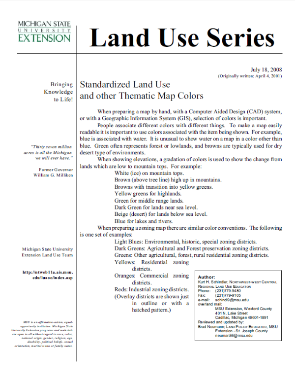
Standardized Land Use and other Thematic Map Colors
DOWNLOADJune 1, 2016 - Kurt Schindler
When preparing a map by hand, with a Computer Aided Design (CAD) system, or with a Geographic Information System (GIS), selection of colors is important.
You Might Also Be Interested In
-
MSU students partner with Michigan communities to improve trail access
Published on May 30, 2025
-
Reciprocal Research: A Guidebook to Centering Community in Partnerships with Indigenous Nations
Published on April 22, 2021
Accessibility Questions:
For questions about accessibility and/or if you need additional accommodations for a specific document, please send an email to ANR Communications & Marketing at anrcommunications@anr.msu.edu.


 Print
Print Email
Email


