St. Joseph River Cost Share
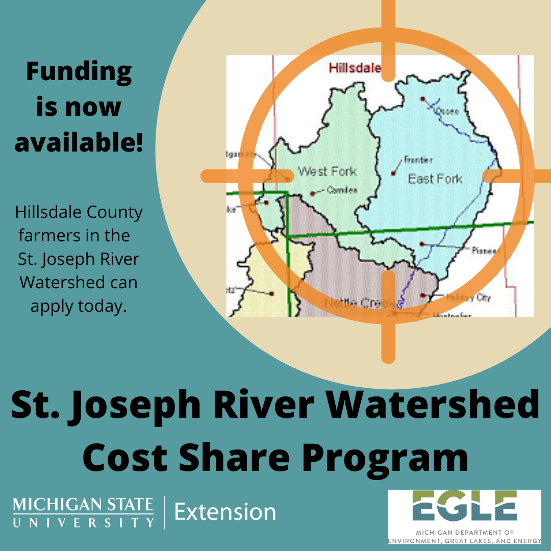
The Upper St. Joseph River of Lake Erie watershed is located mainly within southern Hillsdale County, but also crosses state lines into Ohio and Indiana. The watershed is 343,468 acres. The major land use within the watershed, totaling over 68%, is agriculture. The major pollutant source targeted by this project is phosphorus from agricultural fields; however, nitrogen and sediment will also be affected. The project aims to reduce the phosphorus load by 20%. This project will support long-lasting changes in the St. Joseph River Watershed through establishing farmer-led education networks and providing cost-share in behavior-based practices.
Through this project cost-share will be available to farmers across the Michigan Upper St. Joseph River Watershed to support cost-shared nutrient management practices. In order to be eligible for cost-sharing, farmers must implement (at a minimum) one  of the following Natural Resources Conservation Service (NRCS) practices on fields proposed for grant funding: Nutrient Management (590), Residue and Tillage Management, no-till/reduced till (329), Cover Crops (340), Filter Strips (393).
To apply online click here.
You can also download an application to complete and return to Sarah Fronczak, froncza3@msu.edu
 This NPS Pollution Control project has been funded wholly or in part through the Michigan Department of Environment, Great Lakes, and Energy’s Nonpoint Source Program by the United States Environmental Protection Agency under assistance agreement 2020-001 to Michigan State University Extension for the St. Joseph WLEB Phosphorus Reduction Cost-Share project. The contents of the document do not necessarily reflect the views and policies of the United States Environmental Protection Agency or the Department of Environment, Great Lakes, and Energy, nor does the mention of trade names or commercial products constitute endorsement or recommendation for use.


 Print
Print Email
Email