Coastal Planning and Zoning Course: Lesson 3
DOWNLOADDecember 10, 2021 - Tyler Augst, Michigan State University Extension and Michigan Sea Grant
 Print
Print Email
Email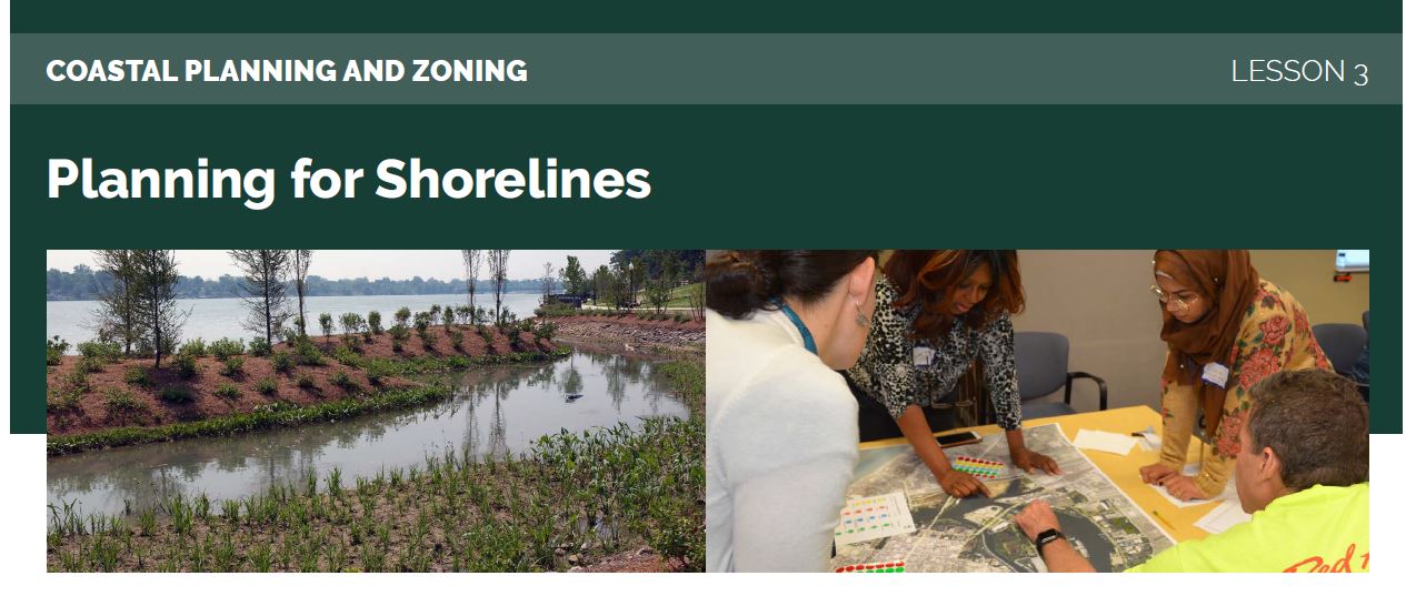
This lesson is one of a 5-part e-mail series on Great Lakes coastal zoning and planning. Register for the complete series online.
Lesson 3: Planning for Shorelines
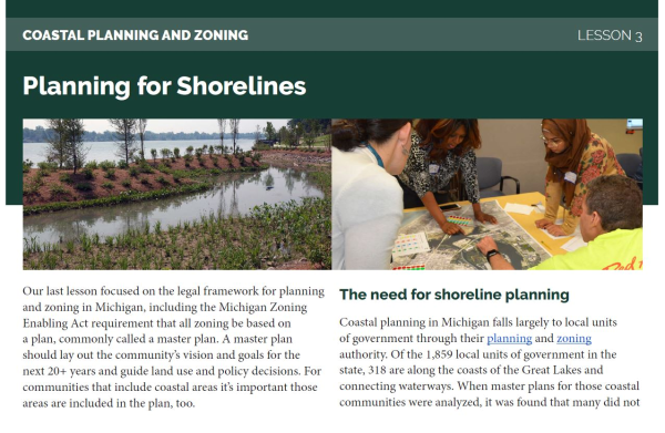
Our last lesson focused on the legal framework for planning and zoning in Michigan, including the Michigan Zoning Enabling Act requirement that all zoning be based on a plan, commonly called a master plan. A master plan should lay out the community’s vision and goals for the next 20+ years and guide land use and policy decisions. For communities that include coastal areas it’s important those areas are included in the plan, too.
The need for shoreline planning
Coastal planning in Michigan falls largely to local units of government through their planning and zoning authority. Of the 1,859 local units of government in the state, 318 are along the coasts of the Great Lakes and connecting waterways. When master plans for those coastal communities were analyzed, it was found that many did not expressly plan for coastal management. According to the researchers, “almost half of the plans we evaluated fail to evaluate their coastal areas at all, and almost three-quarters fail to adopt any meaningful coastal area management policies.” In Michigan, local units often face a number of challenges when planning for coastlines. Among those are the perception that the work is highly technical and requires specialized experts, reliance on the state to address coastal issues, the potential for pushback from shoreline property owners, and the relative infrequency of damaging erosion and storm events.
Focus on coastal issues in a master plan can help a shoreline community understand and determine their own goals for their shorelines and identify policies to get there. This article and webinar from Michigan Sea Grant and MSU Extension discusses water policy issues more broadly.
Scenario-based planning for shorelines
As we learned in Lesson 2, changing water levels and increasing storm intensity on the Great Lakes can make planning a very difficult process. Scenario planning is a tool that may be helpful. The American Planning Association describes scenario planning as “a process to support decision-making that helps urban and rural planners navigate the uncertainty of the future in the short and long term.” Recent participatory research efforts have shown that using a form of scenario planning for communities centering around things within a communities control can help communities make planning decisions in an uncertain environment. This process brought the focus back to local decisions like waterfront setback distances and allowable development on wetlands. The City of Marquette has also used scenario planning for their coastlines (see “The Future” on page 18 of this Coastlines & People Report).
This simple decision-based scenario-planning process identified nine possible future scenarios based on what the climate future may be and which land use management options a community chooses. Communities found that focusing on a limited number of scenarios kept the analysis manageable. Each of the nine scenarios were then analyzed using readily available data to determine the impact to land and structures that could be expected for each. Full details on this process, including where to access the off-the-shelf data, can be found at Resilient Great Lakes Coast.
Another part of this planning process could also be completing an environmental inventory that identifies what and where important natural features such as wetlands, floodplains, high risk erosion areas, steep slopes, or other unique features are located. Planning should include an assessment of the property, infrastructure, and other community assets that are vulnerable to changes in lake levels using tools such as the Lake Level Viewer. Resilient Great Lakes Coasts has compiled a table of data sources for evaluating biophysical vulnerability in Great Lakes coastal states to assist with analyses or communities can contact their regional planning entity for assistance.
Tips for scenario-based shoreline planning
The research on scenario-based planning for shorelines discussed above was participatory, meaning it involved actual communities, the City of Grand Haven and Grand Haven Charter Township, in the research as they went through a planning process for their shorelines. At the end of this research process the City of Grand Haven incorporated all analyses, findings, and conclusions for coastal management from the process into their master plan (see Section III: Building a Resilient Future and Appendix B: Coastal Process Documentation). Grand Haven Charter Township chose to include conceptual overviews and policy recommendations in the master plan (with additional materials in appendices).
As part of a program in 2021, MSU Extension spoke to some of the researchers and city staff who were involved in the project to hear their thoughts on the process and what tips they had for other shoreline communities like how to talk about a changing climate in ways that are less divisive. This Shoreline Scenario Planning Advice reel [7:36] summarizes those conversations.
What’s next?
Once a plan is in place and adopted by a community, the next step is to implement the plan. Lesson 4 will introduce some zoning options communities may consider to meet goals laid out in their shoreline planning process.