MI EnviroImpact Tool: Help your crops spring forward by keeping nutrients on the field
 Print
Print Email
EmailMI EnviroImpact Tool is a free decision support tool for short-term nutrient application planning that shows daily runoff risk across Michigan.
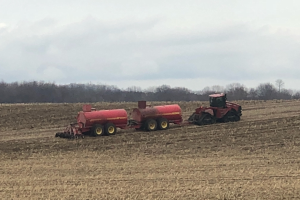
With planting season upon us, many farmers are looking to apply nutrients to their fields for optimal crop uptake, whether with commercial fertilizer or manure. These nutrients are critical for a healthy crop and high yields, but they also have the potential to enter rivers and streams as runoff if not applied at the appropriate time.
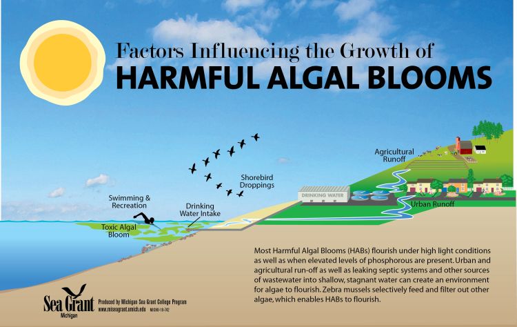
When it rains, nutrients that are not utilized by crops may wash off of fields and into nearby sensitive waterways, including streams and lakes. This runoff results in high nutrient content in the water, which spurs the growth of blue-green algae (or cyanobacteria) and causes harmful algal blooms (HABs). As HABs decompose, oxygen is consumed from the water, causing harmful effects on both fish survival and drinking water quality. With nutrient application planning, farmers are able reduce the risk of nutrient runoff and help better protect the Great Lakes.
The MI EnviroImpact tool is a free decision support tool for short-term nutrient application planning that shows daily runoff risk across Michigan. The tool’s runoff risk forecast comes from real-time precipitation and temperature forecasts, which are combined with snow mel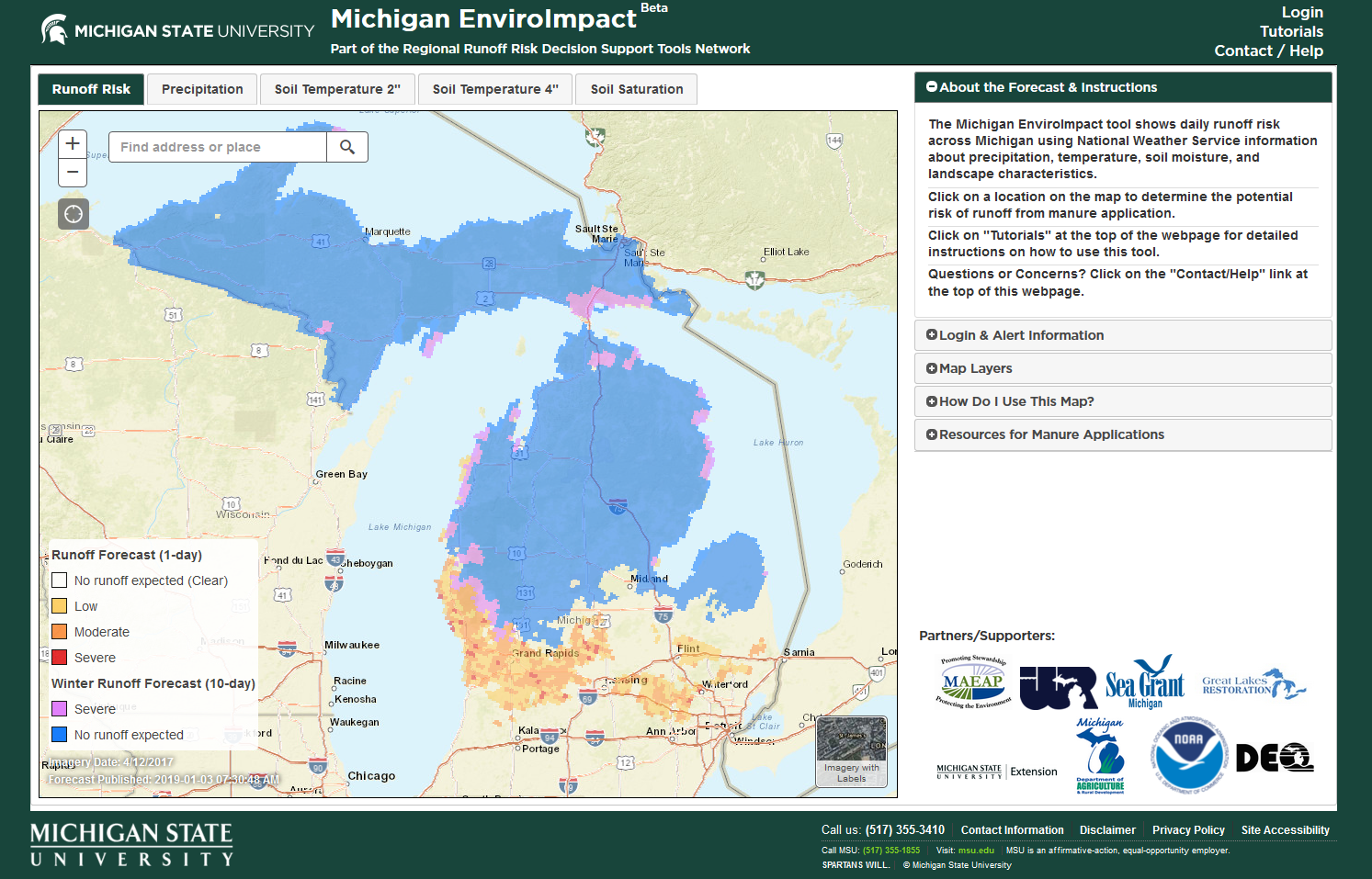 t, soil moisture, and landscape characteristics in order to forecast runoff events. With the tool, farmers can better determine when to apply fertilizers during times of lower runoff risk. This tool is useful for anyone applying nutrients - including homeowners, gardeners and landscapers.
When users create an account, they can receive text or email alerts when nutrient runoff risk is high for a designated location. The tool’s modeling uses 6 square mile grids. So, if you are applying nutrients to a large area, it is best to add multiple locations/fields.
Nutrient application is just one source of HABs, but with proper planning, farmers can help keep applied nutrients on their fields and reduce nutrient runoff entering the Great Lakes.
Learn more about the MI EnviroImpact Tool
Michigan State University Extension, Michigan Sea Grant, MSU’s Institute for Water Research and collaborators developed these educational materials to increase understanding of how to use and navigate the MI EnviroImpact Tool.
- MI EnviroImpact Tool Fact Sheet and Postcard
- Manure Application Planning with the MI EnviroImpact Tool Webinar Recording
Videos:
The Michigan EnviroImpact tool was developed in partnership with the National Ocean and Atmospheric Administration National Weather Service, the Michigan Department of Agriculture and Rural Development, the Michigan Agriculture Environmental Assurance Program, the Michigan State University Institute of Water Research, Michigan Sea Grant and MSU Extension. The tool is part of a regional effort to improve runoff risk decision support tools in the Great Lakes basin supported by the Environmental Protection Agency, Great Lakes Restoration Initiative (GLRI), and National Weather Service North Central River Forecast Center (NCRFC).
Michigan Sea Grant helps to foster economic growth and protect Michigan’s coastal, Great Lakes resources through education, research and outreach. A collaborative effort of the University of Michigan and Michigan State University and its MSU Extension, Michigan Sea Grant is part of the NOAA-National Sea Grant network of 34 university-based programs.