The GLANSIS Map Explorer: A hub for habitat suitability maps
 Print
Print Email
EmailTool helps scientists study the habitat and food sources an introduced species prefers and predict where a species might spread based on these environmental factors.
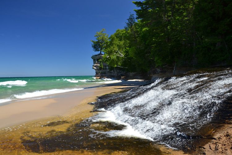
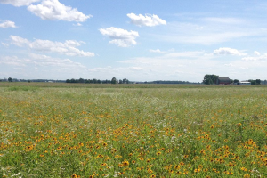
The Great Lakes region is home to an impressively diverse assortment of habitats, ranging from the sandy shores of Lake Erie to the rocky cliffs of Lake Superior. This complex landscape is instrumental in supporting the abundance of biological diversity for which the Great lakes are famous. Unfortunately, this also means that organisms that are not native to the Great Lakes can often make a home there too.
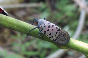
The introduction of nonnative species to the Great Lakes is often aided by human activity, such as international shipping or the pet trade. Thus, dozens of species from around the globe have made their way to the Great Lakes in the past two centuries, where some of them cause numerous problems for the environment and the economy.
What can be done?
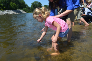
There are several methods to help prevent the introduction and establishment of these nonindigenous species, including laws that regulate their trade and transport, management efforts to protect native species and remove nonnative ones, and programs to encourage the utilization and consumption of nonnative species. These methods are most effective when researchers know where a particular nonnative species is in the Great Lakes, or where it might be able to thrive.
One way to do this is by studying the habitat and food sources an introduced species prefers, and predicting where it might spread based on these environmental factors. Researchers use this data to develop habitat suitability models for introduced species, which are often visualized as a map – making it easy to identify where a nonnative species might currently live and to make inferences about where it might spread next. This information is valuable to environmental managers, who can tailor their detection and monitoring efforts to areas where a non-native species is most likely to live.
Map Explorer
The models and maps used to inform these management decisions are often scattered across numerous scientific publications and websites, and can be hard to locate. To address this need, the National Oceanic and Atmospheric Administration's (NOAA) Great Lakes Aquatic Nonindigenous Species Information System (GLANSIS) developed the Map Explorer interface to house regional habitat suitability maps and provide access to spatially referenced data points of where nonindigenous species have been found in the Great Lakes watershed.
The GLANSIS team’s most recent addition to the Map Explorer is a collection of habitat suitability maps for bighead (Hypophthalmichthys nobilis) and silver carp (H. molitrix). Bighead and silver carp are considered invasive in North America, and have negatively impacted the environment and native fish populations in the waters they inhabit. Fortunately, they have yet to enter the Great Lakes, but are found in many rivers across the US and continue to expand their range. Because of the environmental risks these fish pose to the Great Lakes if introduced, scientists have conducted numerous studies to see if the Great Lakes could support populations of bighead and silver carp based on the presence of suitable food sources and habitat.
Identifying potential habitat

A recent study conducted by researchers from the University of Michigan and NOAA looked specifically at the suitability of Lake Michigan for bighead and silver carp. The researchers built on previous studies by considering carp’s opportunistic feeding habits, which allows them to consume food items ranging from dead organic matter (such as fecal pellets from mussels) to phytoplankton and zooplankton. The study also evaluated potential carp habitat for the entire water column of Lake Michigan, in contrast to previous studies that were limited to the surface waters. By factoring in diet flexibility and subsurface habitat, the amount of suitable habitat for bighead and silver carp increased drastically relative to previous estimates. Depending on the season, the entirety of Lake Michigan was shown to be suitable for bighead carp, while silver carp were confined to nearshore, nutrient-rich areas. These results are visualized in the Map Explorer as the percent maximum daily growth rate potential of carp for the whole water column, and divided by spring, summer, and fall.
When displayed in the form of a map, the habitat suitability of discrete locations for invasive carp in Lake Michigan can be easily identified. This information can help interested parties determine where to look for potential carp introductions and preemptively direct resources to prevent their invasion. To learn more, check out the original study published in the Journal of Freshwater Biology: “Lake Michigan’s Suitability for Bigheaded Carp: The Importance of Diet Flexibility and Subsurface Habitat”.
If you have habitat suitability maps for other species that you would like to see added to the Map Explorer, please contact GLANSIS program manager Rochelle Sturtevant at sturtev1@msu.edu.
Michigan Sea Grant helps to foster economic growth and protect Michigan’s coastal, Great Lakes resources through education, research and outreach. A collaborative effort of the University of Michigan and Michigan State University and its MSU Extension, Michigan Sea Grant is part of the NOAA-National Sea Grant network of 34 university-based programs.
This article was prepared by Michigan Sea Grant under award NA180AR4170102 from the National Oceanic and Atmospheric Administration, U.S. Department of Commerce through the Regents of the University of Michigan. The statement, findings, conclusions, and recommendations are those of the author(s) and do not necessarily reflect the views of the National Oceanic and Atmospheric Administration, the Department of Commerce, or the Regents of the University of Michigan. This project was also supported by the Great Lakes Restoration Initiative.