Coastal Planning and Zoning Course: Lesson 4
DOWNLOADDecember 10, 2021 - Tyler Augst, Michigan State University Extension and Michigan Sea Grant
 Print
Print Email
Email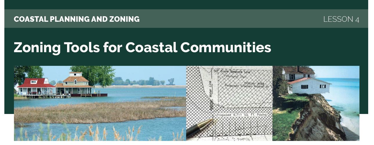
This lesson is one of a 5-part e-mail series on Great Lakes coastal zoning and planning. Register for the complete series online.
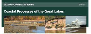
Lesson 4: Zoning Tools for Coastal Communities
Our previous lesson focused on the planning side of planning & zoning and now we turn to some zoning tools communities can use to achieve goals outlined in their master plan. Traditional approaches to zoning create different districts throughout a community. The allowable land uses, setbacks, and other zoning regulations will vary from district to district to meet the needs of the community. Typical examples of zoning districts are residential, agricultural, commercial, mixed use, and natural areas. For districts that include Great Lakes shoreline, the zoning tools below may be appropriate for achieving coastal goals.
Setbacks and buffers
Setbacks are a common feature of many zoning ordinances and they have a role to play in land use decisions for a community’s shoreline. Cornell Law School’s Legal Information Institute defines a setback as “[t]he distance a building must be from the street as required by zoning laws.” Most people are probably familiar with this type of setback from a road or property line in Michigan. The same tool can be applied in relation to shorelines to create space for the natural coastal processes you learned about in Lesson 2. The Michigan Association of Planning includes setbacks from water as a tool for protecting water quality. These setbacks may also sometimes be called buffer zones.
In addition to shoreline setbacks established by a local community through zoning, a setback is required in high-risk erosion areas as regulated by the Michigan Department of Environment, Great Lakes, and Energy (EGLE). As part of EGLE’s permitting process for high-risk erosion areas, the plans for new structures such as a house or garage will be checked to make sure the structure is far enough away from the top of the bluff or the erosion hazard line. With approval and some technical support from EGLE, local communities can assume permitting responsibility for those high risk erosion areas.
Overlay districts
Traditionally zoning ordinances divide a community into districts and those districts fit together like puzzle pieces, with no two overlapping. This approach works well for creating separate areas in a community, but some issues cut across our human-created boundaries. A shoreline is a great example of a natural feature that may cut across several traditional zoning districts. A shoreline may warrant different land use regulations across multiple districts. That is where an overlay district may be useful.
An overlay district is a second regulatory district that overlays on top of the zoning district map. These overlay districts are commonly used in the state to regulate land use around a feature that spans multiple districts. Common uses of overlay districts include:
- Airport overlay district for regulating building height in runway approaches
- Municipal wellhead protection overlay districts to regulate use for the protection of drinking water
- Historic overlay districts to preserve traditional development patterns
- River protection overlay district
More information on overlay districts is available in this MSU Extension article, “Overlay zoning districts can be a valuable tool” and the “Sensitive Areas Overlay district” section in Grand Haven’s zoning ordinance (Sec.40-422).
Coordinated permitting
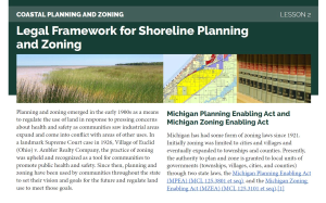
As Lesson 2: Legal Framework for Shoreline Planning and Zoning introduced, there can be several layers of regulation and permitting required for building along the Great Lakes shore, especially if the property is identified as a high-risk erosion or critical dune area. Those EGLE-managed permits are in addition to the other various permits needed for development, such as building permits or local zoning permits. As the MSU Extension article “Sequence of government permits is important,” proper sequencing helps ensure all relevant permits and approvals are secured before final local approval is given for development.
Local communities may include provisions in their zoning ordinance that all other relevant permits are received prior to permit approval. Many communities will conditionally approve a permit, requiring submission of all other required permits prior to final approval. Once a sequence for permits has been established communities can create and use checklists to guide and document their workflow.
If you would like more information on zoning options available to shoreline communities, especially in the face of a changing climate, we recommend reading this two-part series from MSU Extension, “With higher Great Lakes, review zoning for coastal resiliency: Part 1” & “Part 2”.
What’s next?
Our next, and final lesson, will feature several ways you can continue your learning on these important coastal issues.